| Click on Image to View Larger
Picture |
 |
 |
 |
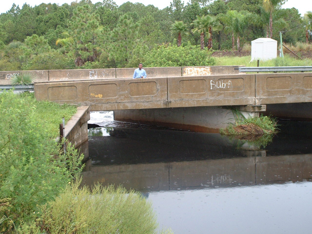
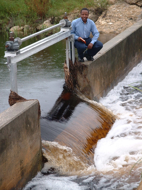
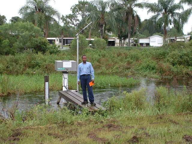
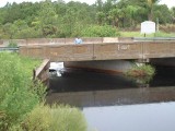
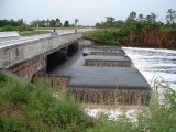
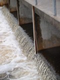
| 1. Gator Slough at Box
Culvert/Weir #19 - Andalusia Blvd (upstream). |
2. Gator Slough at Box
Culvert/Weir #19 - Andalusia Blvd (upstream). |
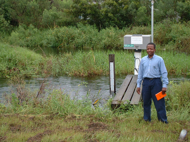
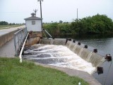
3. Gator Slough at Box
Culvert/Weir #19 - Andalusia Blvd (downstream). |
 |
 |
 |
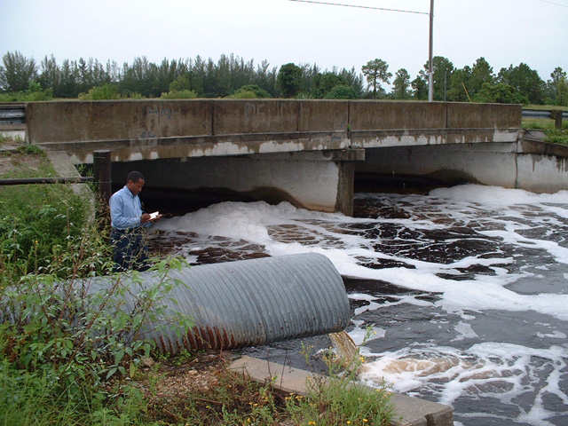
| 4. Gator Slough at Box
Culvert/Weir #19 - Andalusia Blvd (downstream). |
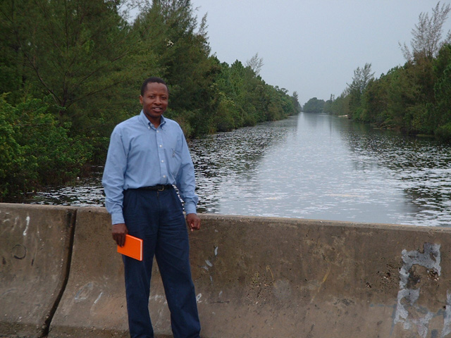
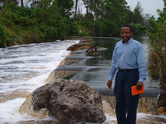
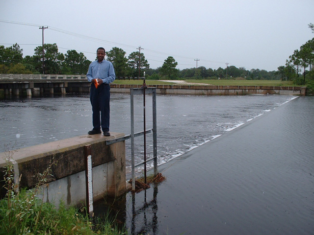
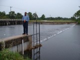
5. Syracuse canal at Weir #58
- Wilmington Pkwy (upstream). |
6. Syracuse canal at Weir #58
- Wilmington Pkwy (upstream). |
 |
 |
 |
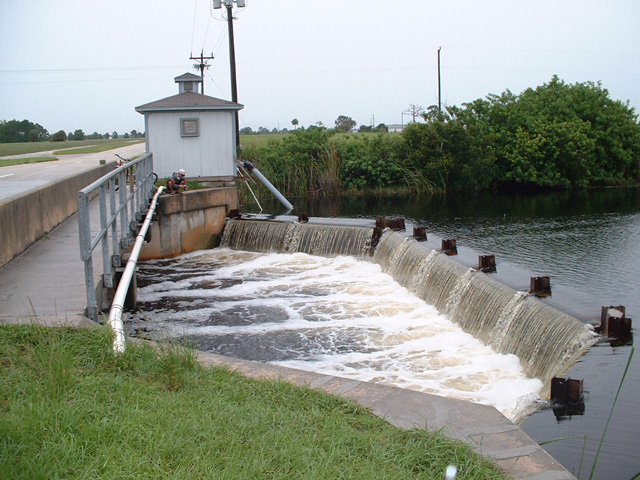
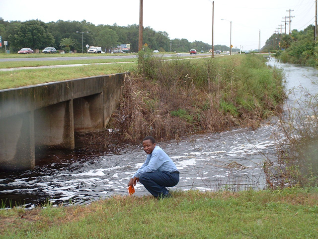
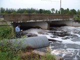
| 7. Gator Slough at Zigzag Weir
- #9 (downstream). |
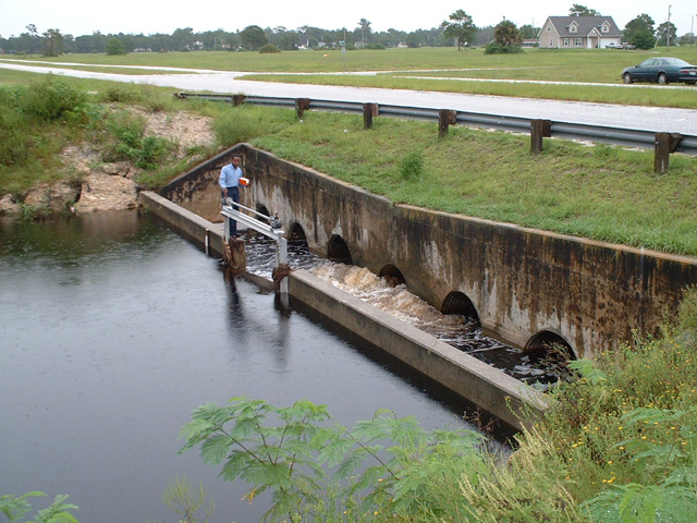
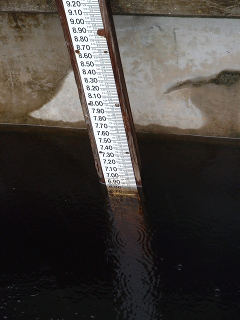
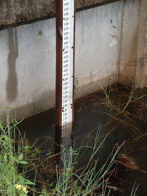
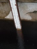
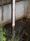
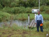
8. Stage measurement on Weir
#4 (upstream). |
9. Gator Slough at Weir #4
(downstream). |
 |
 |
 |
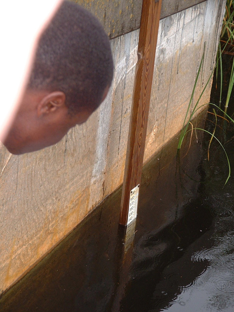
| 10. Stage measurement on Weir
#4 (downstream). |
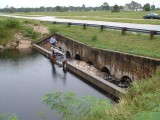
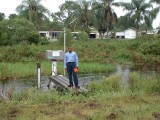
11. Horseshoe canal at Weir
#13 (upstream). |
12. Hermosa canal at Weir #17
(upstream). |
 |
 |
 |
| 13. Stage measurement on Weir
#15 (upstream). |
14. Shadroe canal at Weir #18
(downstream). |
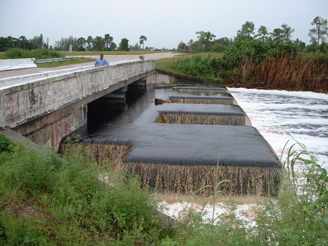
15. Gator Slough at USGS
station - c/o Tara Blvd/U.S. 41. |
 |
 |
 |
| 16. Gator Slough at USGS
station - c/o Tara Blvd/U.S. 41. |
17. Gator Slough at U.S. 41
Box Culvert. |
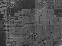
18. Geologic map of the Gator
Slough watershed. |