|
Watershed Boundary |
||
|
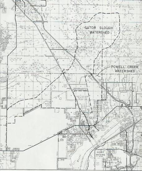
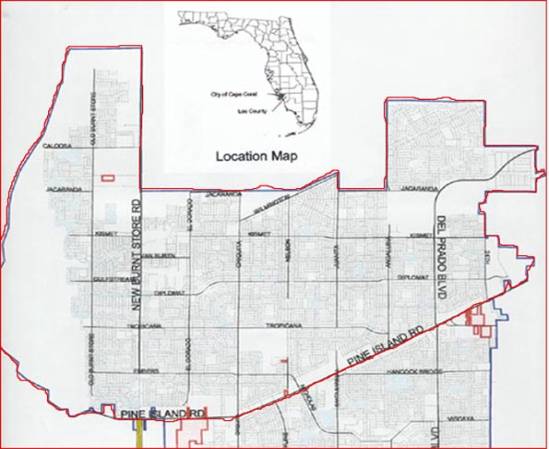
Cape Coral is located in western Lee County on a peninsula bounded on three sides by waters of the Caloosahatchee River and Matlacha Pass. Cape Coral is bounded on the north by undeveloped land. The analyzed areas are the watersheds basins within Cape Coral located north of Pine Island Road (S.R. 78) and west of U.S. 41. It covers an area extending north to the Lee County line and 7 miles beyond. The area constitutes a single drainage basin, since the North Spreader Waterway receives the discharge from all Cape Coral canals north of Pine Island Road. Eight recharge basins (1, 2, 3, 4, 6, 7, 9, and 10) were considered in the model. The Gator Slough watershed also includes a thirty-three square mile undeveloped drainage basin located northeast of the city limits (see maps), which was not a part of the project but is included in the hydrologic simulation model. |
 Map
of the Watershed.
Map
of the Watershed.
|
|